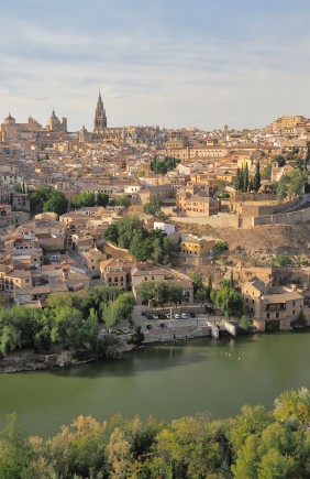
Sometimes we look for spectacular landscapes thousands of miles away without realising that very similar scenery exists within our own borders. It is not about exaggerating comparisons, but about recognising that Spain’s geography is diverse and, in some cases, surprisingly similar to landscapes we usually associate with other countries. Discover eight places in Spain that look like they belong in other countries.
Bardenas Reales (Navarra)
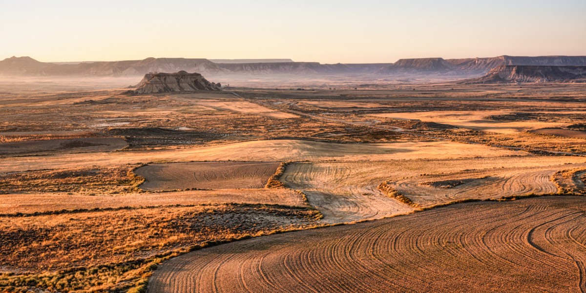
The landscape of the Bardenas Reales, in south‑eastern Navarre, is made up of plateaus, ravines and eroded formations such as Castildetierra. It is notable for its ochre tones, sparse vegetation and wide, open horizons.
Although there are no sand dunes, this landscape evokes an arid environment very similar to that of some areas of the Sahara, such as the Hamada del Draa or the surroundings of Ouarzazate in Morocco. It shares with these places patterns of erosion caused by wind and water, as well as the impression of an almost inhospitable territory.
Badlands de Purullena (Granada)
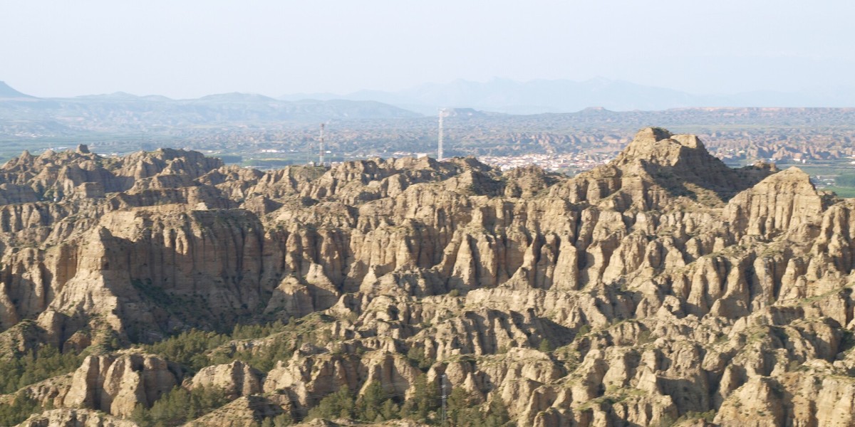
In the area around Purullena and the Gorafe Desert, in the province of Granada, erosion has shaped, over millions of years, a landscape of gullies, canyons and clay hills that is reminiscent of Cappadocia’s Red Valley.
The earthy tones and undulating forms create a very similar image. Furthermore, the tradition of dwellings carved into the rock in nearby Guadix reinforces this comparison.
Brihuega (Guadalajara)
Every July, the lavender fields surrounding Brihuega turn purple. Neat rows of flowers stretch to the horizon, creating an image almost identical to that of Provence in France at peak bloom.
The similarity arises from a combination of comparable climate, altitude and crops. During these weeks, the Alcarria landscape offers the same scene that has made the French region famous, with the advantage of being just a few hours from many Spanish cities.

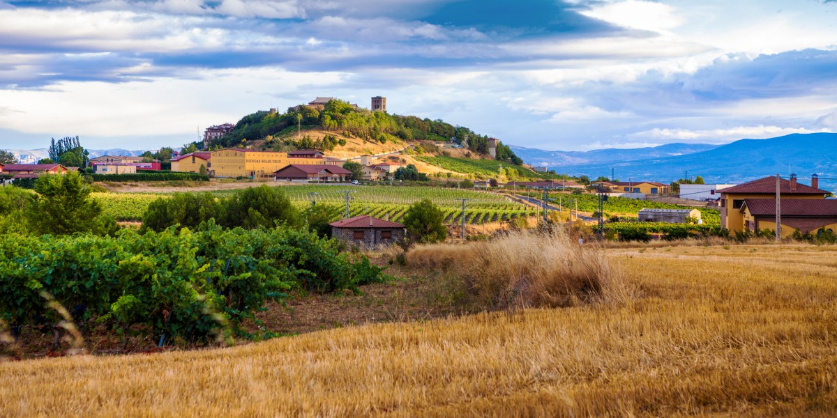
Rioja Alavesa
In Rioja Alavesa, the landscape consists of a succession of hills covered with vineyards. The rows follow the contours of the land, creating an instantly recognisable image often compared to Tuscany. If you visit towns such as Laguardia (Álava) or Briones (La Rioja), you will notice the striking resemblance.
From the natural viewpoints around these villages, you can see how vineyards dominate the landscape, with the Cantabrian Mountains in the background. These towns can be compared to some in Italy, such as San Gimignano or Monteriggioni.
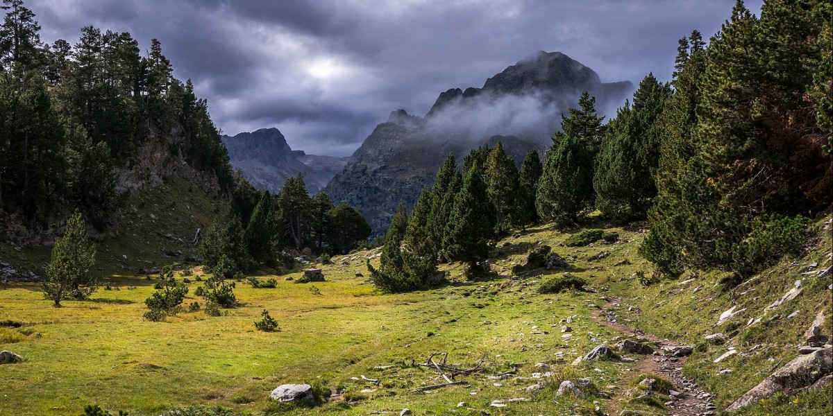
Benasque Valley (Huesca)
The Benasque Valley, in the Aragonese Pyrenees, is surrounded by peaks rising above 3,000 metres, such as Aneto. Its landscape is characterised by green meadows, forests and villages with traditional architecture reminiscent of many valleys in the Swiss Alps.
The presence of glacial lakes and high‑mountain trails reinforces this impression of a Central European landscape. Without leaving Spain, the surroundings offer an image very similar to that of the Alps.
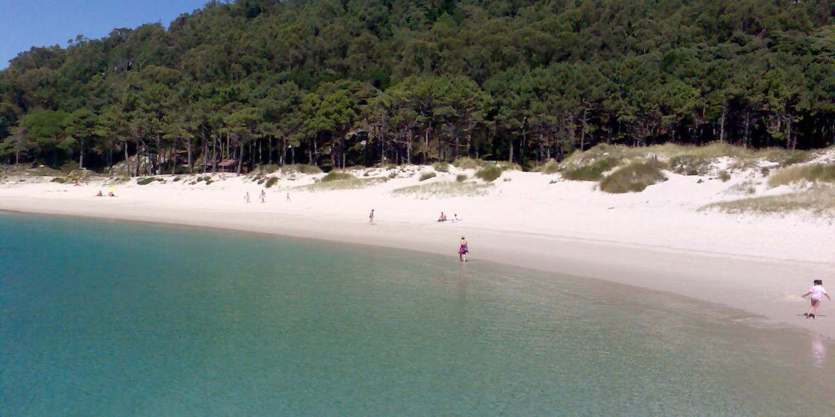
Rodas Beach (Galicia)
Rodas Beach, in the Cíes Islands, is known for its fine white sand and clear turquoise waters. On clear days, it can easily be mistaken for a Caribbean beach.
The difference lies in the water temperature, rather than in its visual impact. The Cíes Islands form part of the Atlantic Islands of Galicia Maritime‑Terrestrial National Park, so access is regulated, and visitors are encouraged to respect the environment.
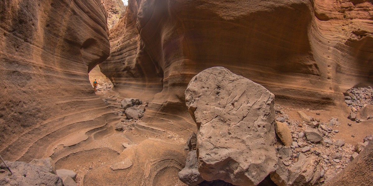
Barranco de las Vacas (Gran Canaria)
The Barranco de las Vacas, in Gran Canaria, is a narrow canyon shaped by water erosion. Its undulating walls and reddish tones are reminiscent of Arizona’s Antelope Canyon, known for its sinuous rock formations.
Although smaller, the visual effect is very similar when light hits the curved walls. It is located in the municipality of Agüimes, in the south‑east of the island, and can be visited on foot via a short walk from the nearby road.
Nervión Waterfall (Álava)
With a drop of over 220 metres, the Salto del Nervión is the highest waterfall on the Iberian Peninsula. The water plunges from a cliff into a deep canyon, creating an image comparable to Iceland’s Háifoss.
It is located between Álava and Burgos, within the Monte Santiago Natural Monument, and is usually accessed from a nearby parking area. It does not always carry water – as this depends on rainfall and snowmelt – so it is advisable to check conditions before planning a visit.