The Camino Francés, or French Way, is the best-known and most popular pilgrimage route to Santiago de Compostela. Crossing a variety of landscapes, it benefits from an extensive network of hostels, services and towns linked to the pilgrimage tradition. The route offers considerable flexibility: pilgrims can complete the entire journey over more than a month or choose to walk only the final 100 kilometres.
Here are the key facts about hiking the French Way, along the Camino de Santiago.
History of the French Way
The French Way gained prominence during the Middle Ages as the main route leading to the tomb traditionally attributed to the Apostle James. As pilgrimages increased, hospitals, monasteries, bridges and settlements were established along the route to support travellers.
One of the key historical references is the Codex Calixtinus, written in the 12th century. Its fifth book describes the routes entering from France, the principal stopping points and practical advice for pilgrims of the period.
The route was recognised as a European Cultural Route by the Council of Europe and, in Spain, the French Way of St James was declared a UNESCO World Heritage Site. Today, it retains its historical, religious and cultural significance.
Where does the French Way begin?
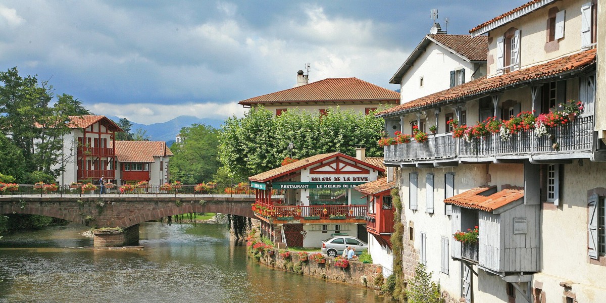
The most common starting point for the French Way is Saint-Jean-Pied-de-Port, a French town on the northern side of the Pyrenees. From there, the first major challenge is reaching Roncesvalles in Navarre via the famous Napoleon Route or the Valcarlos alternative.
Many pilgrims, however, consider Roncesvalles to be the practical starting point of the French Way in Spain. From here, the route continues through Pamplona, Puente la Reina, Logroño, Burgos, León, Astorga, Ponferrada and O Cebreiro before reaching Santiago de Compostela.
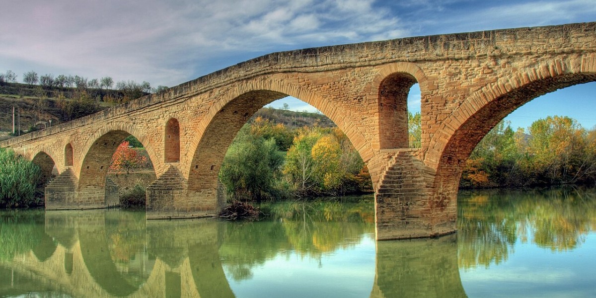
There is also a historic variant that begins in Somport, in Aragón. This route passes through Jaca before joining the Navarrese route at Puente la Reina. From there, both itineraries continue along the same path towards Galicia.
How many kilometres is the French Way?
The total distance depends on the chosen starting point. The most popular route, between Saint-Jean-Pied-de-Port and Santiago de Compostela, covers approximately 780 kilometres.
Starting in Roncesvalles reduces the distance slightly, while the Aragonese route from Somport totals around 800 kilometres to Santiago.
Many guidebooks quote a figure of around 930 kilometres, often including additional sections in France or historical route variations. For this reason, it's always advisable to check the specific distance of the route you intend to follow.

How many stages does the French Way have?
The French Way is typically divided into 33 stages between Saint-Jean-Pied-de-Port and Santiago de Compostela, with most daily walks covering between 20 and 30 kilometres. This division should be seen as a guideline only, as each pilgrim can adapt the stages according to fitness levels, accommodation availability and the time available.
A standard itinerary usually requires 30 to 35 days of walking. However, there is no obligation to follow the traditional stage breakdown. Longer stages can be shortened, shorter ones combined, and rest days added in larger towns and cities.
Which is the most beautiful stage of the French Way?
The answer depends on individual preferences, whether you prefer mountain scenery, historic heritage, rural villages or major cities.
Even so, the stage between Saint-Jean-Pied-de-Port and Roncesvalles is often regarded as one of the most spectacular. Crossing the Pyrenees offers sweeping views and provides a dramatic start to the pilgrimage.
Other highly regarded sections include the ascent to O Cebreiro from El Bierzo and the descent from O Cebreiro towards Triacastela.
What is the toughest stage of the French Way?
The stage between Saint-Jean-Pied-de-Port and Roncesvalles is widely considered the most demanding part of the French Way when following the Napoleon Route.
The route involves a significant climb over approximately 24 kilometres while crossing the Pyrenees. Weather conditions such as wind, fog, rain or high temperatures can also considerably increase the difficulty.
French Way from Sarria: the most popular option
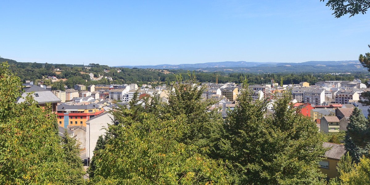
The French Way starting in Sarria is the most popular option for those with only a week available and who wish to complete the minimum distance required to obtain the Compostela certificate. The route between Sarria and Santiago measures just over 100 kilometres, meeting the requirement for pilgrims travelling on foot.
The typical itinerary is completed in five stages:
- Sarria-Portomarín, approximately 22 kilometres.
- Portomarín-Palas de Rei, approximately 25 kilometres.
- Palas de Rei-Arzúa, approximately 29 kilometres (can be divided into Melide).
- Arzúa-O Pedrouzo, approximately 19 kilometres.
- O Pedrouzo-Santiago de Compostela, approximately 20 kilometres.
Pilgrims can also choose the alternative route through Samos before reaching Sarria. This option is longer than the San Xil route and provides the opportunity to visit the Benedictine Abbey of San Julián de Samos.
The popularity of this section means accommodation can fill up quickly, particularly during spring, summer and public holidays. Booking in advance is often advisable, especially for groups or travellers seeking specific types of accommodation.
The French Way by bike
Completing the French Way by bicycle typically takes around two weeks, although the total duration depends on pace and planned stops. Most cyclists complete the route in between 12 and 16 days.
To obtain the Compostela certificate as a cyclist, pilgrims must complete at least the final 200 kilometres of an official pilgrimage route. On the French Way, a common starting point is Ponferrada.
Although much of the route follows the marked pilgrimage path, some sections are not suitable for bicycles due to steep gradients, surface conditions or safety considerations. In these areas, cyclists often use alternative roads or designated cycling routes.