High temperatures do not necessarily mean putting your hiking boots away until autumn. Across Spain, there are riverside forests, gorges, waterfalls and mountain lakes where cooler conditions make it possible to enjoy the outdoors even during the height of summer. Here are eight refreshing hiking routes that allow you to explore spectacular landscapes while avoiding prolonged exposure to the sun.
Saliencia Lakes Trail (Asturias)
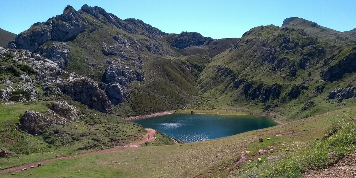
The Saliencia Lakes Trail begins at Alto de la Farrapona, in Somiedo Natural Park. The most popular circular route covers approximately eight kilometres and involves around 350 metres of elevation gain. Along the way, hikers pass the lakes of Cueva, Mina, Calabazosa and Valle.
Its high altitude and the Cantabrian climate of northern Spain help keep temperatures relatively moderate during the summer months. However, some sections offer very little shade, so it is still advisable to set off early in the day and bring sun protection, along with a light jacket for cooler conditions.
Urederra River Source Trail (Navarra)
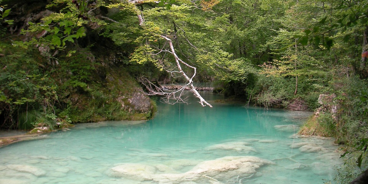
One of Navarre's most popular riverside walks begins in Baquedano. The trail to the source of the Urederra River winds through a forest of beech, oak, ash and elm trees, passing waterfalls and striking turquoise pools. The permitted trail may vary depending on conservation requirements.
The dense woodland and proximity to the river make this an excellent option for hot summer days. Access is regulated, and booking is required, particularly during the busiest periods of the year.
Cola de Caballo Waterfall Trail (Huesca)
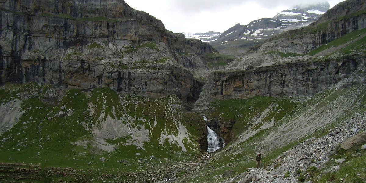
The hike from Pradera de Ordesa to the Cola de Caballo waterfall follows the Arazas River valley. Over the course of its 18-kilometre round trip, the trail passes through beech forests, alongside the Estrecho and Cueva waterfalls, and across the Gradas de Soaso before reaching the waterfall that gives the route its name.
The classic route does not present any technical difficulties, but its length and almost 500 metres of elevation gain mean hikers should allow between five and seven hours. Road access to the Pradera is usually restricted during summer, with a shuttle bus operating from Torla.
Carbo River Trail (Castellón)
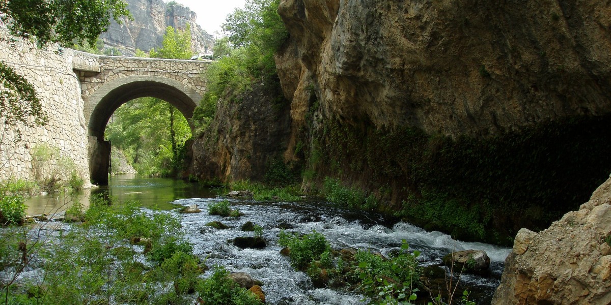
Starting in Villahermosa del Río, this trail follows the course of the Carbo River upstream along a path that winds through riverside vegetation, past farmhouses and across small streams. The circular trail to the waterfall covers more than 15 kilometres, so while it is considered easy, it requires a reasonable level of fitness.
The river, together with the shade provided by poplars and willows, offers welcome relief along much of the route. The Carbo Waterfall is the main highlight, although several natural pools can also be found along the way.
- Property for sale in Villahermosa del Río
- Long-term rentals in Villahermosa del Río
- Holiday homes in Villahermosa del Río
Escabas River Trail (Cuenca)
Between Cañamares and Fuertescusa, the Escabas River flows through a landscape of pine forests, rocky cliffs and meadows. Along its banks are a number of short trails that can be adapted to the time available, with sections where the river forms calm pools and small natural bathing areas.
The nearby Puerta del Infierno is one of the most recognisable landmarks in this river corridor. It is an attractive option for those seeking an easy walk beside the water. The Cañamares river beach is also particularly popular during the summer months.
Chícamo River Trail (Murcia)
The Chícamo River flows through the municipality of Abanilla, creating a green corridor in the middle of a semi-arid landscape. Trails near Macisvenda allow visitors to follow part of the river's course through palm trees, reeds and oleanders as far as the Cager Gorge, a narrow passage where water and rock walls dramatically reshape the scenery.
During summer, it is advisable to limit the walk to the river section and return along the same route, as the more exposed areas offer very little shade. It is also important to check water levels beforehand and avoid the route if storms are forecast.
Los Cahorros de Monachil (Granada)
Just a few kilometres from Granada, Los Cahorros follows the narrow course of the Monachil River via footpaths, suspension bridges and narrow passages carved alongside the rock face. The trail can be adapted to different abilities, although the most common circular walks are between eight and ten kilometres long.
Within the gorge, the shade cast by the cliffs and the proximity of the river help keep temperatures lower. The trail is generally straightforward, although some narrow sections and stretches equipped with metal handholds require extra care.

Cares Trail (Asturias and León)
The famous trail linking Poncebos, in Asturias, with Caín, in León, follows the Cares River gorge for approximately 12 kilometres each way. Along the route, hikers pass through tunnels carved into the rock, cross bridges and walk beneath towering limestone cliffs, creating a spectacular setting for what is a relatively flat, though lengthy, walk.
Some sections are exposed and lack handrails, making the route unsuitable for people with vertigo or for young children without close supervision. Car parks fill up quickly during summer, and temporary closures can occur because of landslides or maintenance works.
- Property for sale in the Picos de Europa
- Long-term rentals in the Picos de Europa
- Holiday homes in the Picos de Europa

Recommendations for hiking in summer
Although these trails run near water, under trees or at a certain altitude, none are immune to high temperatures or sudden changes. Keep these factors and precautions in mind before setting out:
- Start walking early: Avoid the middle of the day, especially between midday and 5 pm.
- Check the weather forecast: Review temperatures, storm risk and official warnings.
- Take enough water: Don't assume that springs or rivers are drinkable. The amount needed depends on the temperature, distance and the effort you'll be making.
- Protect your skin and head: Wear a hat, sunglasses, high-SPF sunscreen and lightweight, breathable clothing. At high altitudes, ultraviolet radiation increases even when the air seems cool.
- Choose appropriate footwear: The sole should offer good grip, especially on walkways, wet rocks and river sections.
- Inform someone: Communicate your planned route and approximate return time, especially if you are travelling alone.