Due to its geographical location, Spain is known for its diverse borders. With over 1,900 kilometres of land and nearly 8,000 kilometres of coastline, it borders five countries: France, Portugal, Andorra, Morocco and the United Kingdom. Its boundaries stretch from the high Pyrenees to river islands and African enclaves, creating a unique map.
In the north, the Pyrenees form a natural border with France and Andorra, combining historic routes with modern connections. To the west, Portugal shares with Spain the country's longest border and also one of the oldest in Europe.
To the south, Spain maintains a unique link with Africa thanks to the autonomous cities of Ceuta and Melilla, enclaves that form the only land border between the European Union and the African continent.
Spain's most intriguing borders
Hidden among Spain's many borders are anecdotes that show how geography, history and politics have shaped unique territories. Let's look at some of the most intriguing examples:
Llívia: a Catalan enclave in French territory
Llívia is a geographical oddity. Located in the province of Girona, it is a Spanish town surrounded by France. This situation dates back to the Treaty of the Pyrenees of 1659, when Spain ceded several towns in the Cerdanya region to France, but Llívia, holding the title of "villa" rather than town, was excluded from the agreement. This was formalised in the Treaty of Llívia of 1660, with the French stipulation that it would never be fortified. Today, as then, to reach Llívia from the rest of Spain, one must inevitably pass through French territory.

Pheasant Island: a shared sovereignty
In the Bidasoa River, which separates Gipuzkoa from France, lies the tiny Pheasant Island. What's unusual is that its sovereignty is shared: Spain and France alternate control over the island every six months, in what is known as an international condominium. This diplomatic arrangement, in place since the Pyrenees Treaty, is an exceptional example of border cooperation.

The Rock of Vélez de la Gomera
This small Spanish territory is located in North Africa and is considered the shortest border in the world, but only since 1930. Originally an island, an earthquake that year created a narrow sand isthmus, 85 metres wide, connecting it to the mainland. This established a land border between Spain and Morocco. The Rock of Vélez de la Gomera was captured in 1564 and has a fort, managed by the General Command of Melilla, which is part of the Spanish Ministry of Defence.

Spain's United Kingdom border
Although separated by nearly 1,000 kilometres as the crow flies, Spain and the United Kingdom share a well-known border: the Rock of Gibraltar. It was ceded to the British Crown in 1713 by the Treaty of Utrecht. With an area of just 6.8 square kilometres, its strategic location at the entrance to the Mediterranean has made it the scene of disputes for centuries and one of the most peculiar situations on the European map.

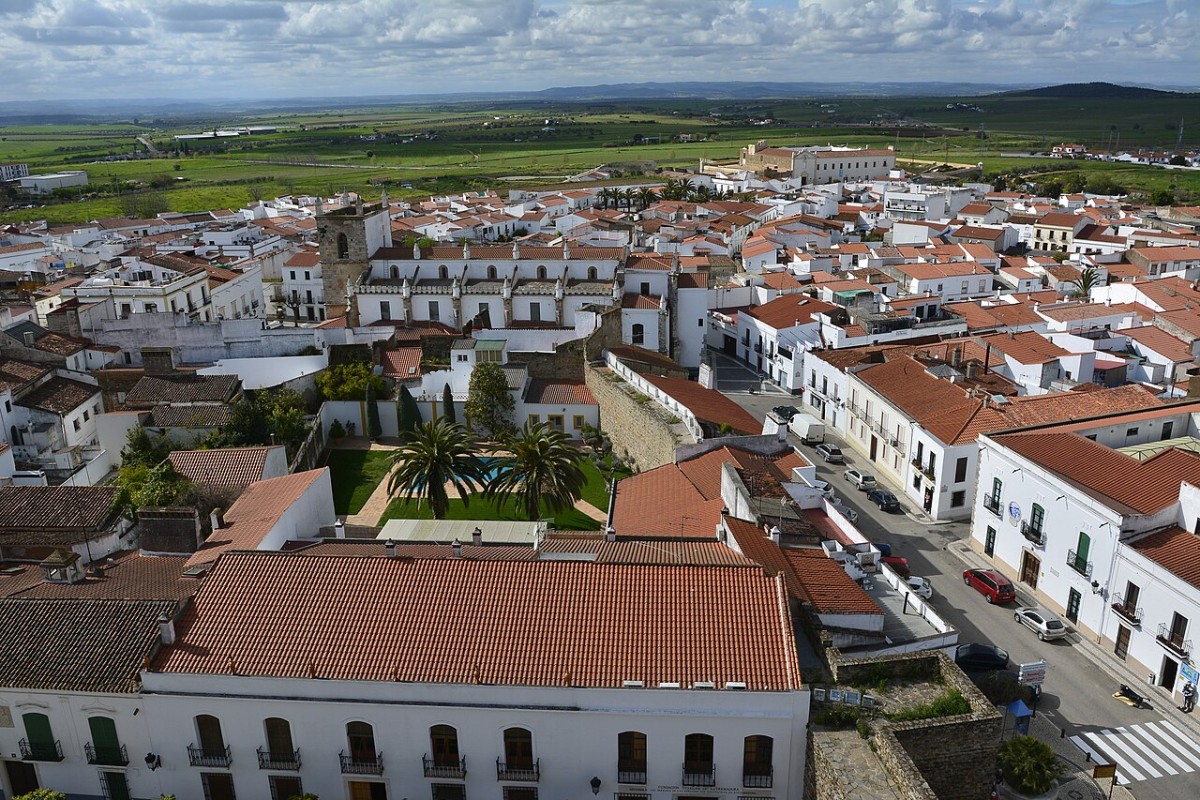
Portugal's border
The 1,234-kilometre line separating Spain and Portugal, known as La Raya (or A Raia), is one of the oldest borders in the world. Since the Treaty of Alcañices, signed in 1297, it has remained virtually unchanged for over seven centuries. Only two enclaves, Olivenza and Táliga, were transferred from Portugal to Spain in 1801 by the Treaty of Badajoz following the War of the Oranges.
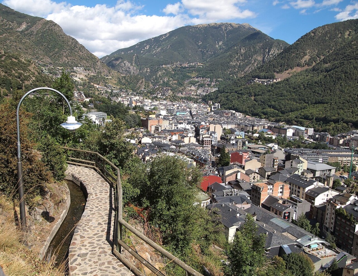
Andorra: a small state nestled among mountains
The border with Andorra is one of the most unusual in Europe. This tiny country, just 468 square kilometres in size, shares a border with Spain and France, and its peculiarity lies in its political system: it is a parliamentary co-principality, with two symbolic heads of state, the President of France and the Bishop of Urgell (Lleida). This unique form of government, along with its location in the Pyrenees, makes Andorra a truly singular border neighbour.